 Antigua Guatemala City Guide
 from $23
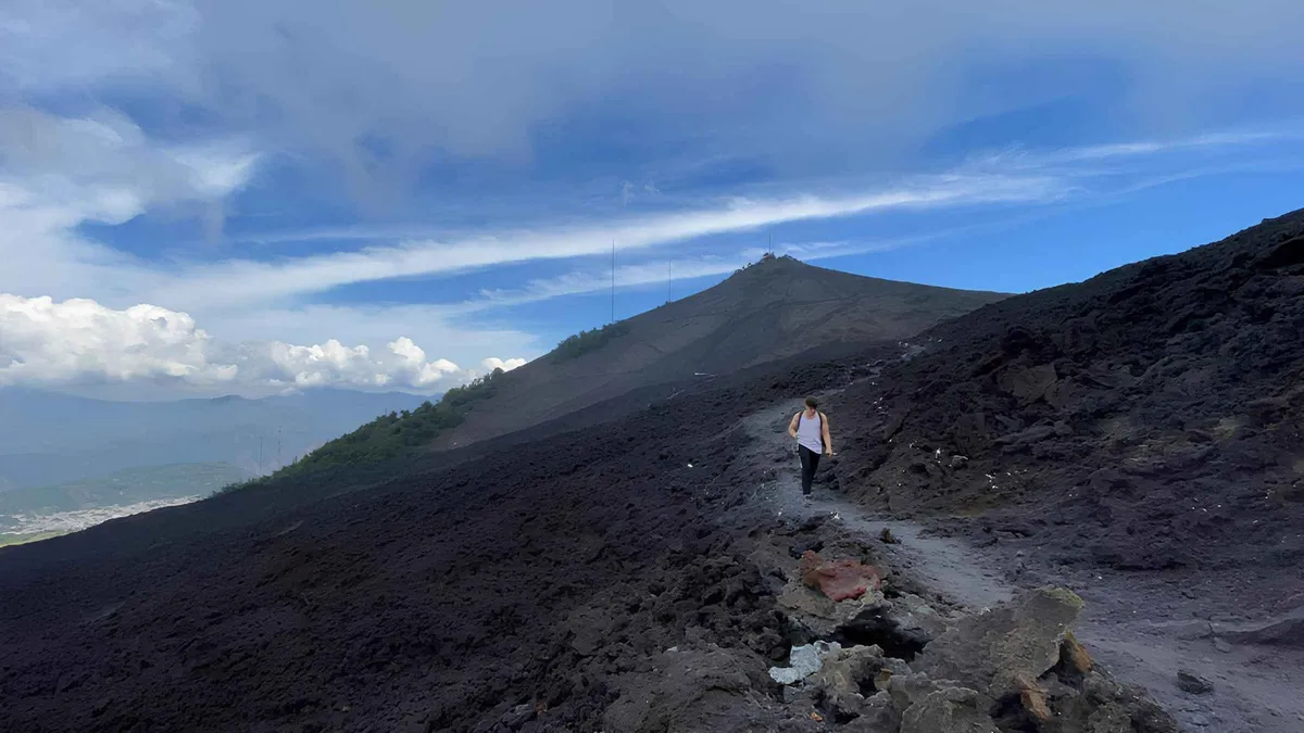
From Antigua: Pacaya Volcano Tour in English/Spanish
Half-day guided Pacaya hike with hotel pickup and marshmallows over the steam vents; the classic introduction to an active volcano, run in English or Spanish.
Check AvailabilityAntigua Guatemala is a small restored colonial capital where the sights sit inside eight walkable blocks. This guide separates what is free (the parks, the arch, most churches) from what tickets (the museums, the ridge parks, the ruins) and tells you which volcano is actually hikeable right now: Pacaya runs guided half-days, while the Acatenango and Fuego summits are suspended by official order. For sleeping, the guide splits the walkable grid from the cheaper edges, area by area.
Antigua Guatemala is the restored colonial capital of the Captaincy General, sitting at 1,530 m under three volcanoes. Streets, parks and most churches are free, while Casa Santo Domingo's museums and the ridge parks ticket. Book the Pacaya half-day ahead, tours run from $23 with hotel pickup, and fix accommodation early if you travel in the Semana Santa window, when the city fills for a week. Two full days cover the grid and one half-day out.
Key takeaways
Everything this guide publishes hangs off five hubs, and each carries the facts that actually decide a trip.
The grid holds the churches, ruins, viewpoints and markets. The index pages rank them and say which cost nothing.
Official prices where entities publish them, platform cards where they do not, and the volcano gate before anything mountain.
Hours and fees, verified against official pagesCafé Condesa on the park, a crêperie that takes no reservations, a rooftop at 8am and a taproom pouring four house beers.
Addresses and hours from each venue's own siteInside the colonial grid you walk everywhere. The edges and adjacent towns cost less but need a tuk-tuk after dark.
Area by area, with the walking trade-offsAltitude, rain, quetzals, shuttles and the honest safety picture, each on its own page.
Figures from official and operator sourcesThe city is a flat eight-block grid pinched between two ridges, and every visit divides into the grid itself, the ruins that ring it, and the hills above it.
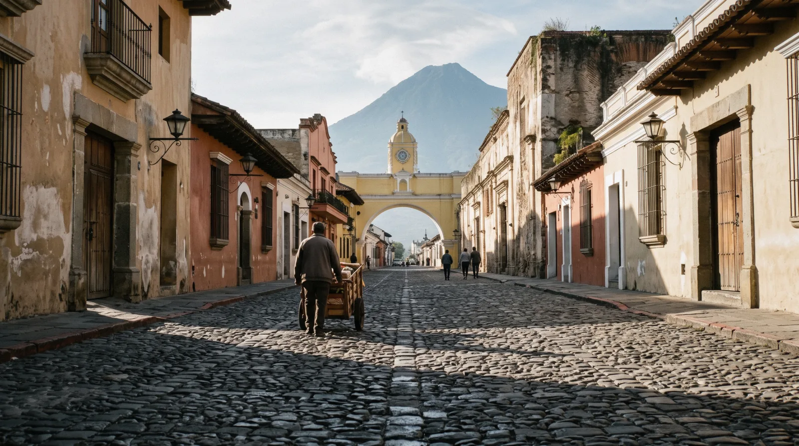
The park, the arch, the cathedral, the mercado and the best cafe corners all sit inside eight walkable blocks of flat cobblestone. Most of the stops cost nothing, you only pay at the ruins and the museums.
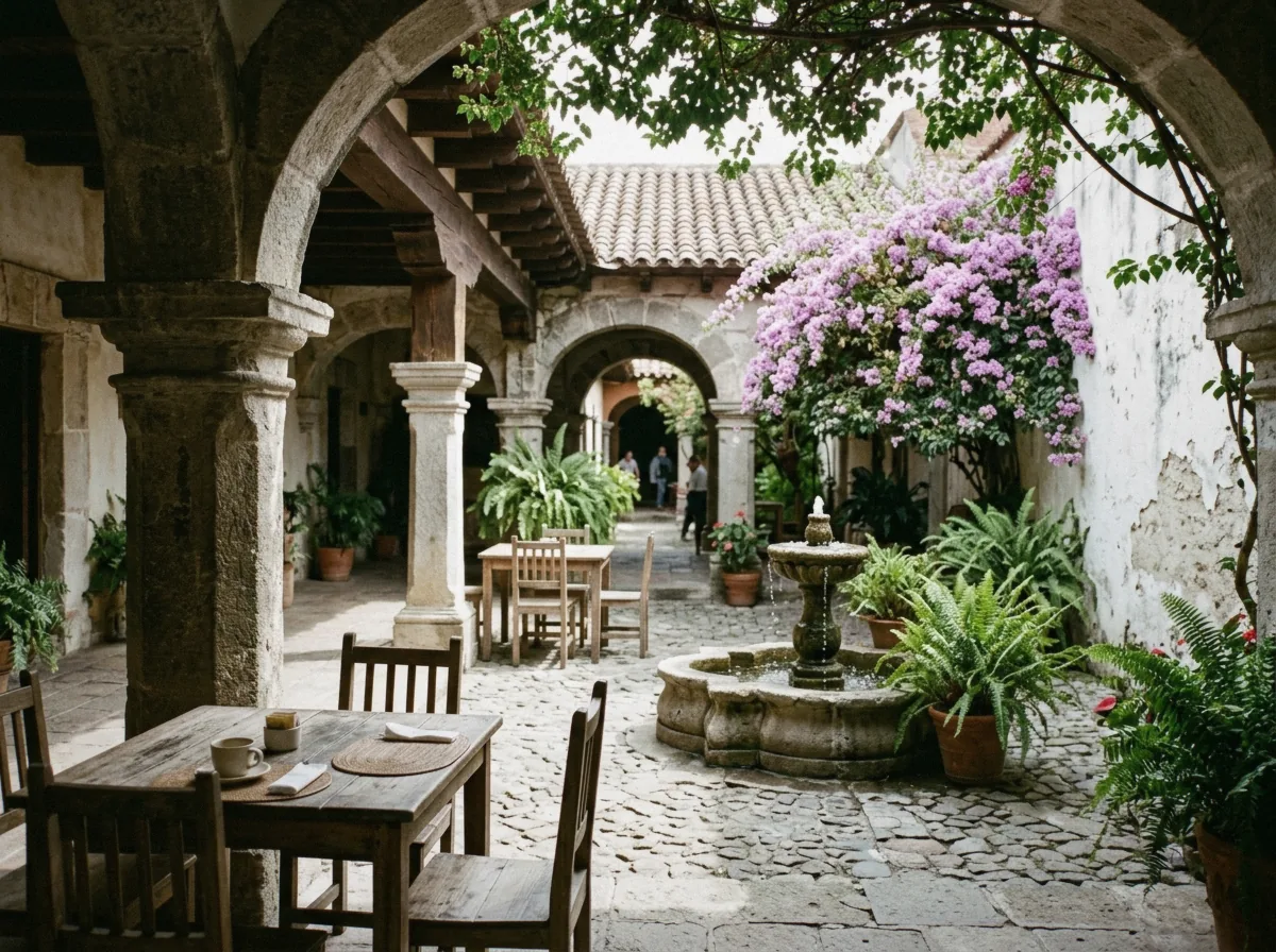
The 1773 earthquakes left the city a belt of convents and churches that never got rebuilt, and they ring the grid on foot-friendly streets. Capuchinas, approved in 1725, was the last convent built here; San Francisco's current church dates to 1702.
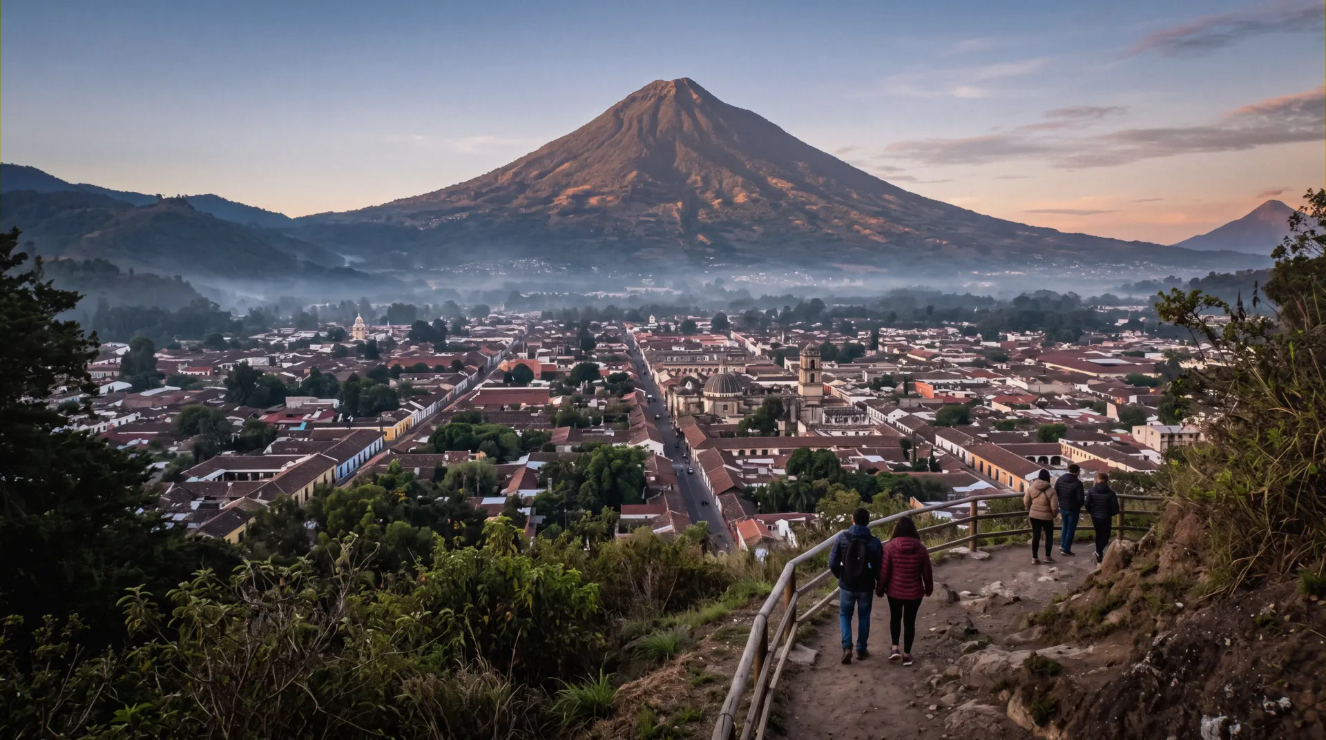
The cross on the north hill gives INGUAT's officially iconic view of the whole grid with Volcán de Agua behind it. The signposted trail takes about 20-30 minutes from the historic center, no fee is published anywhere, and mornings before 09:00 beat both the heat and the vendors.
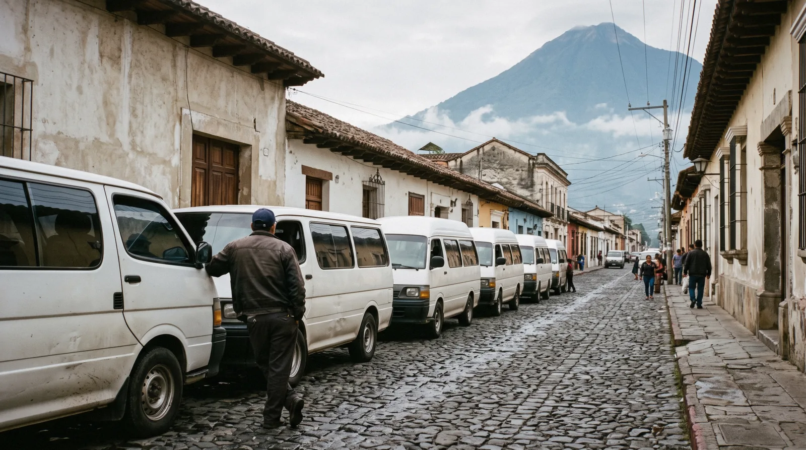
Hobbitenango sits on the ridge above Vuelta Grande with an $8.00 day pass ($6.00 for children aged 4-10) and an $8.00 round-trip shuttle from the Antigua office, running in fixed windows. Earth Lodge, the avocado-farm restaurant above El Hato, reopens on 1 October after a kitchen renovation.
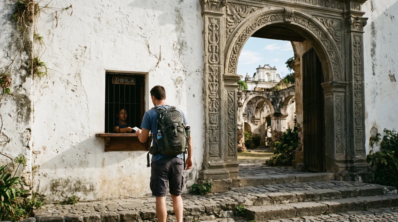
Finca La Azotea in Jocotenango charges Q40 ($5.24) for its museums and Q100 ($13.09) for the one-hour guided coffee tour at fixed times through the day. Finca Filadelfia has no official website, so its tour prices are not stated, only the platform cards carry numbers.
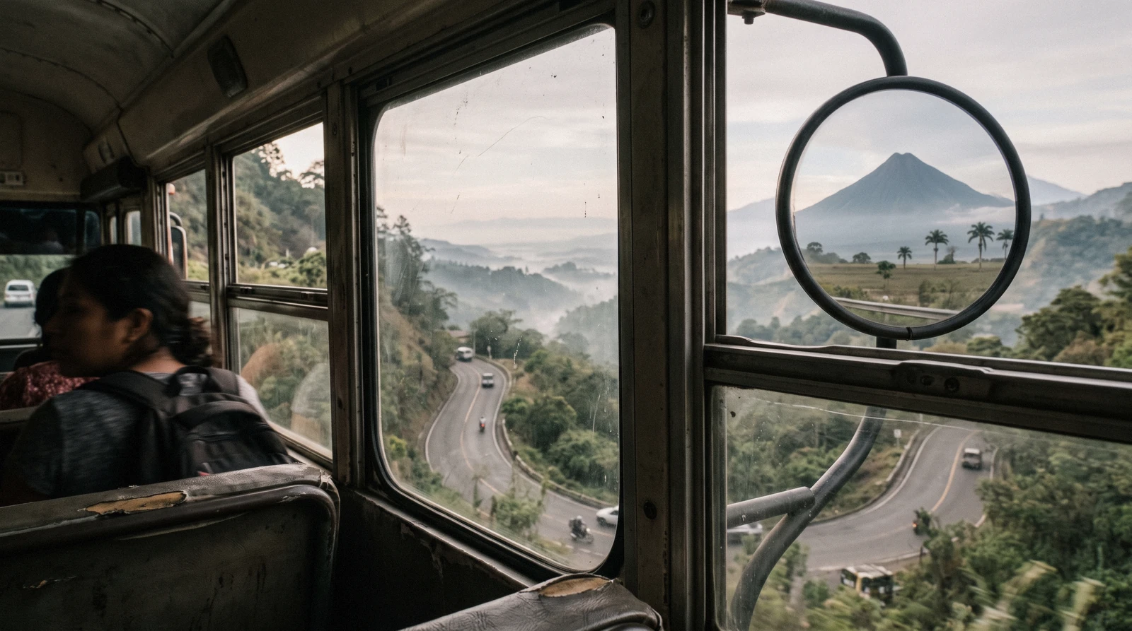
Pacaya runs as a half-day with guided departures, and Lake Atitlán is reachable on $20-25 shuttles that take 2.5-3 hours each way. Tikal, at roughly 500 km, is not an honest day trip from Antigua, it needs its own overnight.
The city rewards a route that follows the streets rather than a checklist, and the stops below chain together naturally from the park outward.
Start at Parque Central when the light is still soft and the vendors are setting up. The Fuente de las Sirenas fountain in the middle dates to 1737, carved by Diego de Porres, and the square has carried the names Plaza Mayor, Plaza Real and Plaza de Armas over the centuries. On the south side stands the Palacio de los Capitanes, begun in 1558, which today houses INGUAT offices, the National Police headquarters and the Sacatepéquez Governor's office, with the Ayuntamiento beside it rebuilt after the 1751 San Casimiro earthquake.
One block east, the cathedral was begun in 1545, consecrated in 1680 and elevated to a metropolitan cathedral in 1743; the working parish occupies the rebuilt section while the rest stands as ruins, and the entry price for the ruins is not stated by any official source. Walk north two blocks under the Santa Catalina Arch, begun in July 1693 so cloistered nuns could cross the street unseen, with its clock added in the 1890s and the whole structure restored in 2017. Continue to La Merced, begun in 1749 and dedicated in 1767 with its Guatemalan Churrigueresque facade and the enormous 27-metre Fountain of los Pescados beside it, then browse the mercado a few steps further for textiles and coffee.
The loop is flat cobblestone the whole way and fits comfortably in a morning with a long lunch stop.
Save the ruins for the afternoon heat and the thinner crowds. Capuchinas, approved by King Felipe V in 1725, was the last convent built in the city and keeps its circular courtyard of nuns' cells. It is owned by the conservation council CNPAG, access is paid, and no official tariff is published online, so expect to buy a ticket at the door.
From there it is a few blocks south to San Francisco, whose current church was built by Diego de Porres and inaugurated in 1702. Brother Pedro, canonized in 2002, is enshrined here, and his tomb draws thousands of pilgrims a year. The ruins beside the church were the temple set for the 1935 Tarzan film.
Finish late afternoon by climbing to Cerro de la Cruz, the signposted trail taking 20-30 minutes from the historic center per INGUAT, for the whole grid under Volcán de Agua in the best light of the day. If you would rather have the history explained, the city highlights walking tour covers the same ground in a small group with a meeting-point start.
A third morning splits cleanly three ways. The ridge option is Hobbitenango: the $8.00 day pass plus a $8.00 round-trip shuttle from the Antigua office, with shuttles up between 8:00 and 10:00 and again 14:00 to 16:00, and down at 9:00-11:00 plus 13:00, 15:00, 17:00 and 18:00, arrive 30 minutes before your shuttle, because the windows are the whole logistics of the day. The culture option is Casa Santo Domingo at 3a Calle Oriente No. 28 A, where six permanent museums and two galleries open Monday to Saturday 9:00-18:00 and Sunday 11:00-18:00; the museum price is not published online, the complex may close early without notice, and there are no guided tours.
The third option is a finca morning in Jocotenango, where La Azotea runs its one-hour coffee tour at 10:00, 11:00, 14:00, 15:00 and 16:00 for Q100 ($13.09). Whichever you pick, book or check the day before, because none of the three takes walk-up luck for granted.
The distances below are our own estimates from the street grid, not official figures, and they assume the flat cobblestones of the center at an unhurried pace. Cobblestones slow you down more than the map suggests, and the climb to the viewpoint is the only real hill. Allow slack after rain, when the stones turn slick.
| From | To | On foot | Note |
|---|---|---|---|
| Parque Central | Santa Catalina Arch | About 4 min | Estimate, two flat blocks north on 5a Avenida Norte |
| Santa Catalina Arch | La Merced | About 4 min | Estimate, continue north past the craft shops to the yellow facade |
| La Merced | Cerro de la Cruz | About 20-30 min | Uphill 20-30 min from the historic center per INGUAT's official trail description |
| Parque Central | San Francisco | About 7 min | Estimate, flat blocks southeast along the ruins belt |
These are the five cards a first visit actually books, with prices and ratings exactly as the platforms list them now. Official prices sit in the highlights strip above. Where an official price is not published (Casa Santo Domingo), the tickets index says so.
from $23
Half-day guided Pacaya hike with hotel pickup and marshmallows over the steam vents; the classic introduction to an active volcano, run in English or Spanish.
Check Availability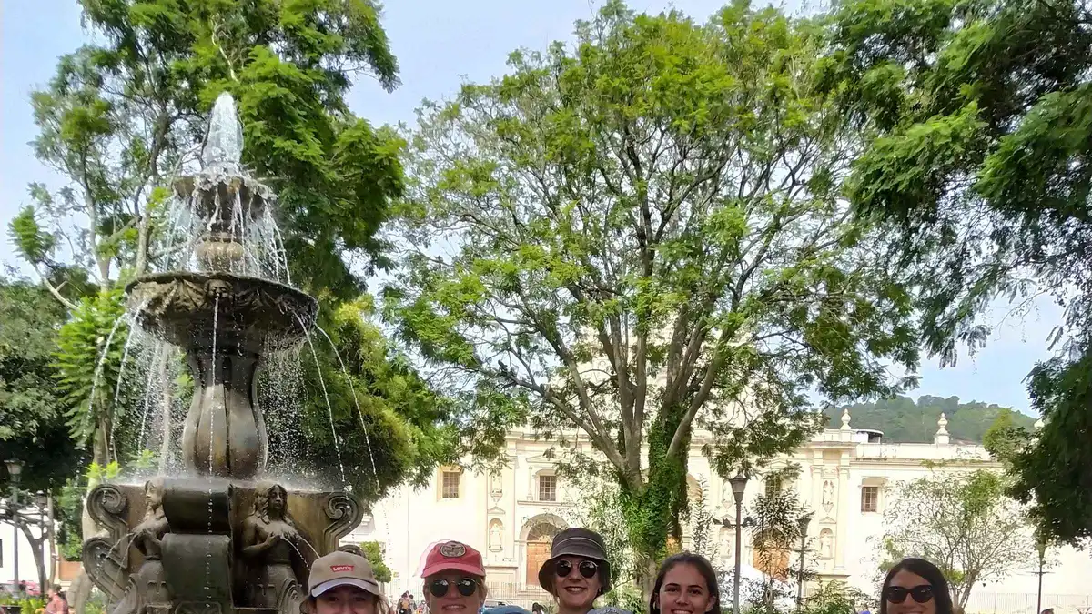 from $25
2.5-hour small-group walk through the grid with a licensed guide; the fastest way to make the ruins and churches mean something.
Check Availability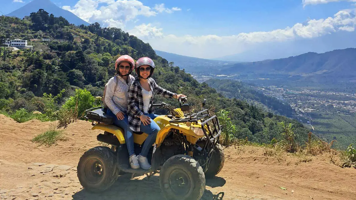 from $69
ATV ridge ride with Hobbitenango entry included; the fun way up the western ridge if the shuttle feels tame.
Check Availability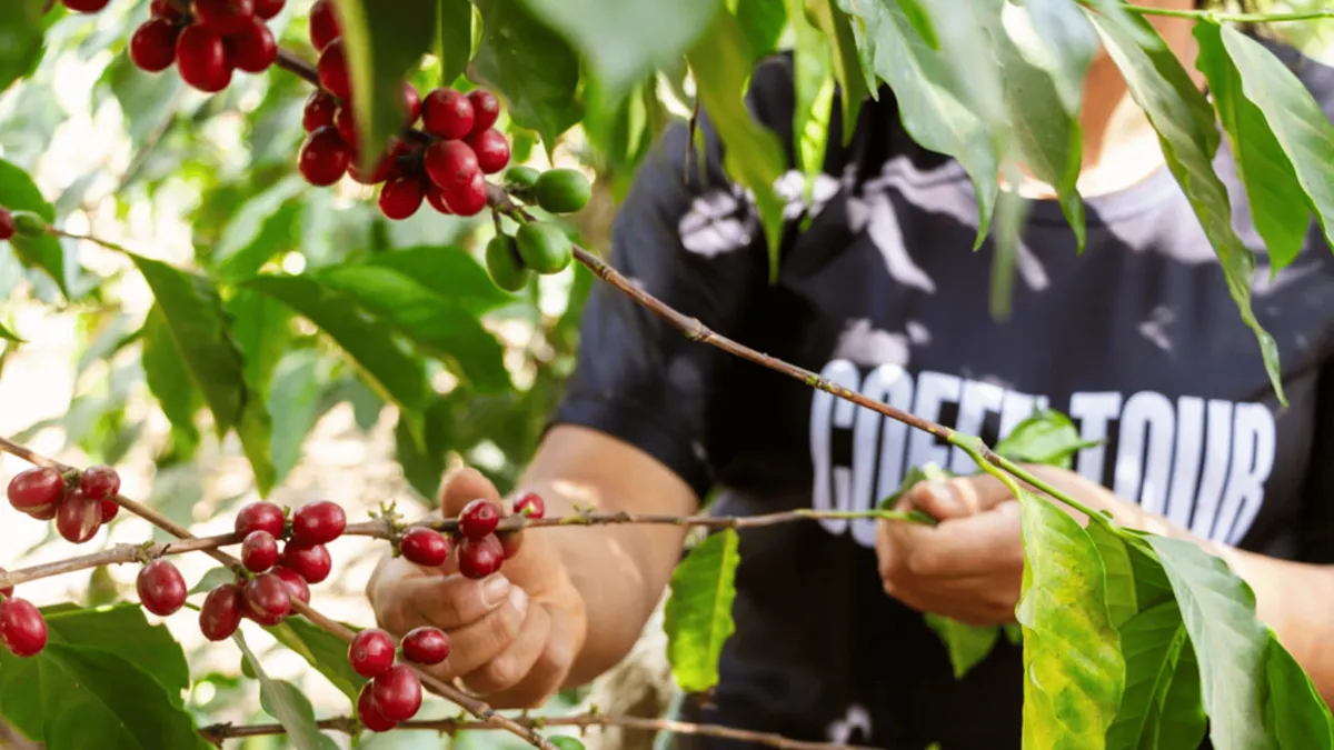 from $69
3.5-hour small-group coffee tour from cherry to cup on an Antigua finca; pickup included.
Check Availability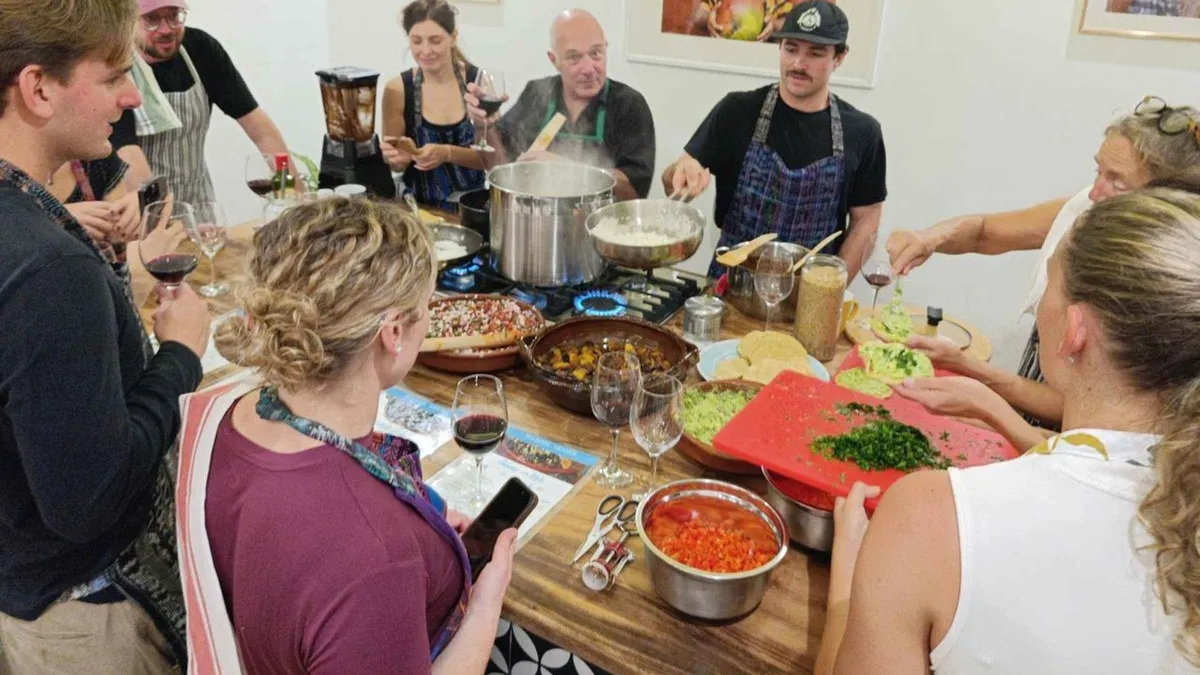 from $38
Three hours with Antigua's TV chef cooking pepian and tortillas; market tour optional.
Check AvailabilityPrices, ratings and details are the platform's own. dollar figures are the listed prices — the platform bills in your account's currency.
This guide divides the city into the grid loop, the ruins belt, the two ridges and the day-trip fringe, and each routing below fits one of those layers while skipping the rest, and with the Acatenango and Fuego summits suspended, the volcano calculus has changed, so check hiking near Antigua before locking a day.
| Stay | You can fit | You will skip | Who it suits |
|---|---|---|---|
| 1 day | The grid loop: Parque Central, the arch, the cathedral, La Merced, one ruin, and the Cerro de la Cruz viewpoint before dark | The ridge parks, the fincas and any volcano | A layover or a shuttle stop, with a night bus either side |
| 2 days | The loop at half speed, the full ruins belt with Capuchinas and San Francisco, and one half-day out: Pacaya or the western ridge | Lake Atitlán and any full-day trip | Most visitors. This guide's default routing |
| 3 days | Everything above plus a full day trip to the lake and a finca or cooking-class morning | Only Tikal, about 500 km away, which needs its own overnight | Slow travellers who want the coffee valley as well as the stones |
Sketch the days hour by hour on the plan page, and re-check hiking near Antigua before committing any day to a volcano.
Antigua Guatemala looks the way it does because of one earthquake, and understanding that explains almost every practical tip on this page.
This city was the capital of the Spanish Captaincy General of Guatemala from 1543, and for two centuries it was the seat of Spanish administration for all of Central America. The 1773 Santa Marta earthquakes broke it, the cathedral was seriously damaged, the convents cracked, and the colonial authorities ordered the capital moved, a transfer completed in 1779-1780 to the site of what is now Guatemala City. The move, paradoxically, preserved the old capital: the population drained away, the standing churches kept their parishes, and the wrecked convents were simply left standing in place.
That is why a small city of walkable blocks holds both a working cathedral and its own ruins, both a functioning monastery complex and a belt of roofless naves, and why you can see the whole thing on foot in two days. The same streets give you the city at its two moments at once, and most of the practical advice here, the walking order, which doors are ticketed, which facades are original, falls out of that single fact.
Antigua Guatemala was inscribed on the UNESCO World Heritage list in 1979, and the protection covers the whole grid rather than isolated monuments. The arch, the plaza buildings and the convents share the same baroque fabric: thick walls, low towers, ornamental facades engineered to survive earthquakes, a style sometimes called Spanish seismic baroque. La Merced survived the 1773 quakes practically unscathed for the simple reason that it was practically new, having been dedicated only in 1767.
Restoration never really stops here, the Santa Catalina Arch was restored in 2017, its clock restarted back in 1991 after the 1976 quake had stopped it, and the convent ruins are progressively consolidated by the national protection council. For a visitor this means the grid is safe to walk, the facades are genuine rather than reconstructed stage sets, and scaffolding on a church is a normal part of the streetscape rather than a sign something is wrong. Treat the whole center as the site, not a list of entries.
Three volcanoes frame everything you see. Agua's perfect cone sits in every postcard shot from the grid, Fuego erupts, it has been under a national orange alert since 3 August 2026, with bulletins still reporting explosions into September, and Pacaya degasses steadily at its Mackenney crater. The valley between them is coffee country: rich volcanic soil, pumice that holds moisture against the region's low rainfall, and fresh mineral ash refreshing the ground, all of which ANACAFE, the coffee industry's official body, sums up as an elegant and well balanced cup with a rich aroma and very sweet taste.
The altitude matters as much as the views: the city sits at 1,530 m (5,013 ft), which is why afternoons near 27°C come with nights in the mid-teens Celsius and why the sun bites harder than the thermometer suggests. Pack the fleece, respect the closures, and let the volcanoes organize your horizon even on the days you never climb one.
Six failures account for most ruined mornings here, and every one has a fix this guide's pages are built to deliver in advance.
The city eats well without ceremony, and a handful of venues with published addresses and hours cover most visits.
Pepián is the dish INGUAT names as the city's own, a thick traditional stew that blends Maya and Spanish influences. One honest correction: there is no verifiable UNESCO listing for it, so if you read that claim elsewhere, discount it, Guatemala's official heritage registry instead holds hundreds of declared intangible elements, gastronomy among them. The citable places to eat it and its cousins are the courtyard kitchens and dining rooms of the monastery properties: Casa Santo Domingo runs Guatemalan-led fine dining including El Tenedor del Cerro under chef Mario Enrique Campollo, and El Maízal at Finca La Azotea is the courtyard Guatemalan kitchen, open Tuesday to Sunday from 09:00 to 16:30.
For sweets, INGUAT points to the old dulcerías of the center, Doña María Gordillo foremost, making traditional candies since 1872. The full dish-by-dish guide with where to try each one is on what to eat, and the venue list with addresses and hours on where to eat.
Morning coffee starts at Café Condesa, on the Central Park in a colonial mansion since 1993, pouring pure Antigua coffee from the surrounding valley. Luna de Miel, the French crêperie on 6a Avenida Norte, takes no reservations at all and runs Sunday to Thursday 10:00-21:00, Friday and Saturday to 22:00, turn up and queue like everyone else. Café Sky at 1a Avenida Sur 15 is the rooftop that opens with breakfast, daily 8am-10pm, and earns its self-description as the city's iconic roof.
Families and rainy afternoons have the ChocoMuseo on the main plaza at 4a calle oriente #8, open every day 10am-7pm, where the chocolate mini workshop starts from $20.00 and the bean-to-bar class from $30.00. After dark, Cerveteca El Arco at 5a Avenida Norte 20A pours four house beers every day from 10am to 11pm, including a stout with a nitro pour exclusive to the taproom. Up on the El Hato ridge, Earth Lodge's cafe and bar welcomes day visitors but is closed through its kitchen renovation and reopens on 1 October.
The longer lists live on best restaurants, cafes and coffee shops and nightlife.
The practical layer is short and factual: one airport, one tariff, one cash rule and a couple of phone numbers worth saving.
La Aurora International (GUA) is the arrival airport, 40-45 km from the city, a drive of 45 minutes to an hour and a half off-peak and longer in Guatemala City traffic. The cheapest pre-booked option is the shared shuttle at $15 per person, running daily at 06:00, 09:30, 11:00 and 13:30 and taking about two hours. Walk-up shuttles at the airport run roughly Q150 ($19.63) per person, departing when they fill, until about 20:00.
A private transfer is $50 for up to four passengers at any hour, with a $15 supplement after 21:00, and a charter pickup with a name sign runs about Q250-Q350 ($32.70-$45.80). Authorized taxis land around $40-60 and Uber $35-55. There is no direct public bus from the airport.
The ~$30 exit tax is already included in your airline ticket, so nobody at the airport should ask you for it. Every option and trade-off is compared on Guatemala City airport to Antigua.
The municipal tuk-tuk tariff is Q10 ($1.31) per in-town ride, set by the city government, but tuk-tuks are not metered and drivers commonly ask Q15 or more from visitors, so agree the fare before you get in. They stop working around 22:00, which matters if you are dining late on the edges of the grid. Chicken buses leave from the lot behind El Mercado, with the Guatemala City route at Q15 ($1.96) picking up at El Trebol in the capital and village buses running every 10-20 minutes.
FCDO advises avoiding public buses entirely, citing overcrowding, poor maintenance and frequent accidents, so frame them as a local experience you accept knowingly rather than a default. The honest third option is your own feet: the central grid is flat, eight blocks end to end, and nearly every sight in this guide connects on foot. Route details and the terminal geography are on getting around and chicken buses.
The quetzal is not pegged to the dollar, so this site converts at a fixed editorial rate of $1 = Q7.64 and every figure here should be read as about. ATM fees are commonly reported at Q40 ($5.24) to Q49 ($6.41) per withdrawal and they are effectively fixed, so withdraw larger amounts less often. Cards work at hotels and larger restaurants, but expect a surcharge, airport shuttles add 10% for card payment, and cash is the rule at markets, tuk-tuks and chicken buses.
For connectivity, Claro sells prepaid eSIM data from Q35 ($4.58) with a QR code and no store visit, and both Tigo and Claro have good LTE coverage in town. For a sense of scale, $100 is about Q764: enough to cover a week of entry fees, tuk-tuks and market meals, but not one night at Casa Santo Domingo, whose hotel rooms start from $190. The full daily budget is on costs and the SIM detail on staying connected.
The US State Department advisory for Guatemala sits at Level 3, Reconsider Travel, which is a country-wide framing and does not single out this city. FCDO's only restricted zones are strips along the Mexican border, and Sacatepéquez, the department that contains the city, is not named in them. On the ground, the tourist grid is patrolled by DISETUR, the tourist police, and the ASISTUR assistance line answers 24/7 in English and Spanish on 1500.
The realistic risks are pickpockets in crowds and unlit side streets after dark rather than anything more dramatic. The national emergency numbers are police 110 and fire or ambulance 122 or 123. Save the numbers before you arrive and read the full advisory framing, scam list and neighbourhood notes on safety and scams.
The city is one of the Spanish-language world's classic study towns, and the schools that publish their prices charge by the week for one-on-one lessons: Ixchel lists weekly packages from $145 to $235, Spanish Academy Antigüeña runs $120 to $190 with a family homestay included, and San José El Viejo charges $180 for a full-day week. No official count of registered schools is published, the field is wide, so the Spanish schools page compares the three that publish tariffs. One number nobody publishes: a hotel tax.
No official figure exists, so treat any add-on on your bill as the hotel's own, and check it at booking. The long-stay ground rules are on where to stay.
Average daily high by month in Celsius with Fahrenheit underneath, computed from the Open-Meteo ERA5 archive for the city, 1995-2024, thirty years of daily data behind every bar.
Nights stay cool year-round, with January lows averaging 13.6°C (56.4°F), so the fleece earns its place in every month. The July dip to 171.4 mm, against 218-300 mm in the months either side, is the canícula dry spell. Month detail on the weather page and best time to visit.
Thirty-year ERA5 means (1995-2024) for the old capital, average high and low with the Fahrenheit reading, rain and rainy days, so a month choice becomes a trade you can actually see rather than a slogan.
| Month | Average high | Average low | Rain | Rainy days |
|---|---|---|---|---|
| January | 24.7°C (76.5°F) | 13.6°C (56.4°F) | 6.8 mm | 2.5 |
| February | 26.0°C (78.9°F) | 14.0°C (57.3°F) | 9.9 mm | 3.2 |
| March | 26.9°C (80.4°F) | 14.9°C (58.8°F) | 30.0 mm | 8.0 |
| April | 27.0°C (80.6°F) | 16.0°C (60.8°F) | 78.5 mm | 16.0 |
| May | 25.5°C (78°F) | 16.8°C (62.2°F) | 213.5 mm | 25.5 |
| June | 24.0°C (75.3°F) | 16.6°C (61.9°F) | 300.4 mm | 25.8 |
| July | 24.6°C (76.2°F) | 16.1°C (61°F) | 171.4 mm | 20.0 |
| August | 24.7°C (76.5°F) | 16.2°C (61.1°F) | 218.9 mm | 22.9 |
| September | 24.0°C (75.2°F) | 16.2°C (61.2°F) | 311.4 mm | 27.8 |
| October | 23.5°C (74.3°F) | 15.8°C (60.5°F) | 226.5 mm | 22.1 |
| November | 23.5°C (74.2°F) | 14.7°C (58.5°F) | 54.2 mm | 9.2 |
| December | 24.2°C (75.5°F) | 13.9°C (57°F) | 10.2 mm | 2.8 |
Annual rainfall totals about 1,632 mm, April is the warmest month and September the wettest, and every figure on this page comes from the same thirty-year record. Copy only from this table, the climate page carries the full record.
These are the questions visitors ask before they book anything, each answered here from the page that owns the facts.
The US advisory for Guatemala is Level 3, Reconsider Travel, a country-wide framing. FCDO's only restricted zones are border strips near Mexico, and Sacatepéquez, the department containing Antigua, is not named in them. The realistic risks are pickpockets and unlit streets after dark, with ASISTUR reachable 24/7 on 1500. The full safety page.
La Aurora sits 40-45 km away, 45 minutes to an hour and a half off-peak. The shared shuttle is $15 per person with fixed daily departures and about two hours of driving, while a private transfer is $50 for up to four passengers at any hour. There is no direct public bus from the airport. Every option compared.
The dry season runs November to April, with April the warmest month at a 27.0°C average high. The green shoulder months bring afternoon rain, and September is the wettest at 311.4 mm over about 28 rainy days. Nights stay cool year-round regardless of when you come. Month by month.
Pacaya runs as guided half-day tours with fixed departures, with CONRED reporting only degassing. The Acatenango and Fuego summit hikes are suspended by official order since 4 August 2026, and no reopening has been published. Volcán de Agua has no official status, fee or guide rule stated anywhere. Live status and rules.
It is a bar town more than a club town, built around rooftops and taprooms rather than late discos. Cerveteca El Arco pours four house beers daily until 11pm, and the municipal sound rules reported by the city's transit authority cap amplified music at 60 decibels until a 23:00 limit. Expect good evenings, not all-nighters. The bars that are actually open.
Cards work at hotels and larger restaurants, usually with a surcharge, while tuk-tuks, markets and chicken buses are cash. The municipal tuk-tuk tariff is Q10 ($1.31) per ride and the Guatemala City bus Q15 ($1.96). ATM fees run Q40-49 per withdrawal, so take out larger amounts less often. What a day costs.
Yes, and La Azotea in Jocotenango makes it easy: the one-hour guided tour costs Q100 ($13.09) and departs at 10:00, 11:00, 14:00, 15:00 and 16:00. ANACAFE describes the valley's cup as elegant, balanced and very sweet. Platform coffee tours from $69 with pickup run daily. Where the city drinks.
Two full days cover the grid loop, the ruins belt and one half-day out to Pacaya or the ridge. A third day absorbs a lake day or a finca morning without rushing. The routing options are laid out in the days table above and sketched hour by hour on the plan page.
For the colonial grid under three volcanoes, for Holy Week and for the coffee valley, yes, honestly so. Two nights buy you the walking loop and one half-day out, which is the trip most visitors actually take. The full case, both ways, is on is Antigua worth visiting.
Yes. It was the colonial capital until the 1773 Santa Marta earthquakes, and the capital's move to Guatemala City was completed in 1779-1780. It is a completely different city from Guatemala City, which today holds the airport you will arrive at. The transfer is covered on Guatemala City airport to Antigua.
Inside the colonial grid if you want to walk everywhere, and 5a or 6a Avenida Sur for the same grid with quieter nights. Jocotenango and San Felipe are the budget edges, a short tuk-tuk from the park. The area-by-area rules are on where to stay and the hotel picks on hotels.
The tourist grid is patrolled by DISETUR tourist police, and the national advisory framing is US Level 3 for Guatemala as a whole, with no restricted zone named here. Keep the usual city habits, mind dark side streets, and save the ASISTUR line, 1500. Scams, numbers and street-level detail on safety and scams.
Three filmed walks show the pace of the streets, the quality of the light and the true distances between stops in a way the written pages cannot.
Follows the arch-to-park corridor at street pace, the exact loop described in the must-see section above.
Video: Backpack GringoA straight line through the historic center, useful for judging the short flat blocks between the main sights.
Video: Wandering PeteLongest of the three, and the best preview of how the ruins belt connects to the grid on foot.
Video: EchoStepsVideos load from YouTube only when you press play.
The office, phone and email above belong to the city's own visitor service, published on the official tourism site and checked on 2026-09-17 — they are not this site's contact details. To reach us, use the contact page.